Introduction to Historical Mapping
This video offers an introduction to online historical mapping for students and teachers wanting to create their own interactive maps. The video includes a tutorial screencast narrating the various features to the National Library of Scotland's online geo-referencing application. Features such as meshing modern and historical maps, measuring tools, and basic information for understanding the NLS's mapping software are discussed.
Useful links
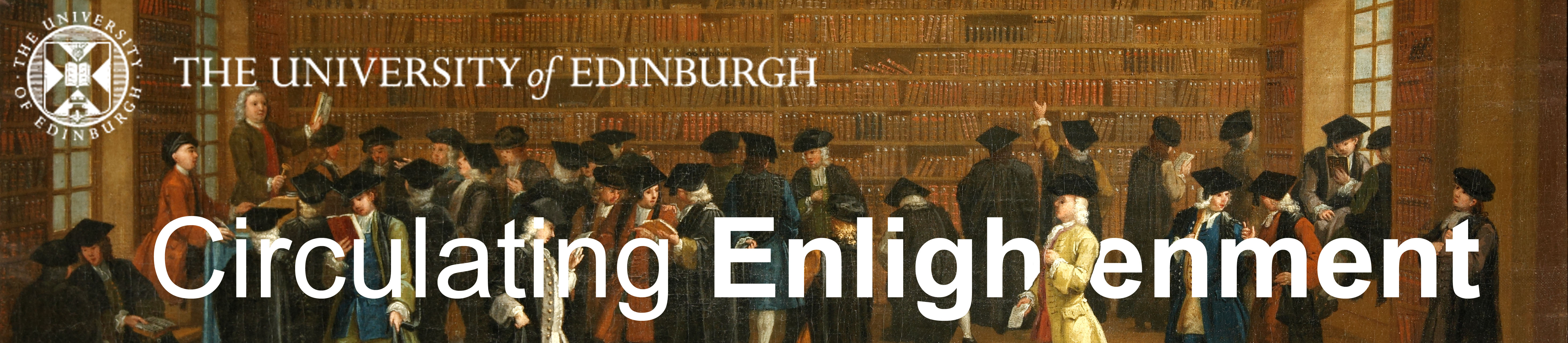
Our thanks to the Bodleian Library for the use of the image in our banner: "William Green Jr. (fl. 1732–1752), Scene at an Oxford Book Auction, oil on canvas, 1747; Bodleian Library. Portrait LP.701, 1F.”